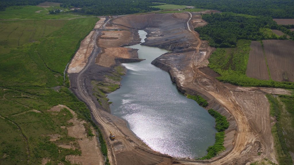
Mapping, Aerial Photography & Videography
NRMS Drone
NRMS is fully licensed and insured to handle a wide range of drone projects with precision and professionalism. Our experienced pilots specialize in contour mapping, aerial photography, and videography, providing high-quality visuals and data to support your land management, environmental planning, or development projects.
Whether you need detailed topographic maps, site overviews for project documentation, or promotional footage for outreach and reporting, our drone services offer a cost-effective and efficient solution. We utilize advanced equipment and GIS-integrated workflows to deliver accurate, high-resolution outputs tailored to your project’s needs.
From capturing before-and-after restoration imagery to supporting environmental assessments, NRMS combines aerial technology with on-the-ground expertise to give you a complete picture from above.
Give us a call or contact us today to learn more!
- Aerial Maps: We can create an aerial of your farm or mines and have it printed on a dry erase board for planning.
- Contour Maps
- Videos
- Mine inventory surveys
- Overburden analysis


